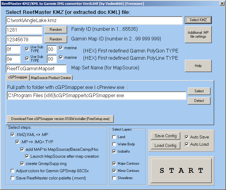
Yes, among a large number of messages in Russian, it’s hard to find a valid link to the latest version of the program.
Here is a link to a folder containing the latest version of the converter and a folder with all previous versions of the program:
yadi.sk/d/TXiLsSBwJVO2mQ
The current version of the converter uses the old cGPSmapper as a compiler.
Therefore, do not wait for miracles in terms of compatibility of the charts (created by the converter) with modern Garmin chartplotters.
Thanks for posting this. I use extra polylines (as another layer) in Reefmaster to mark reefs, wrecks etc. This processes well for Navico Plotters and would be useful in Garmin format. Attached picture is of 2 sunken boats (about 5metres long) that I have drawn from sidescan images as an example. Is this possible for Garmin?