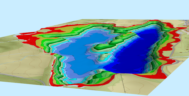
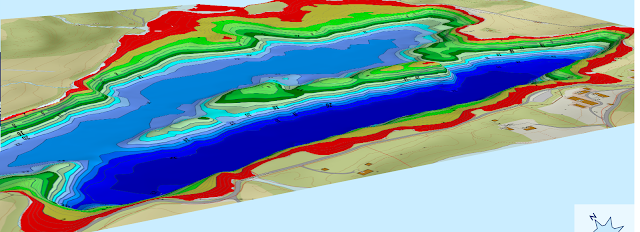
I friend and I took the day and mapped up one of the local lakes around where I live. Two boats and one day produced this.
All sonarlogs and boundaries in RM:
Finished contourmap:
A few 3D:
Bottom composition in Google Earth:
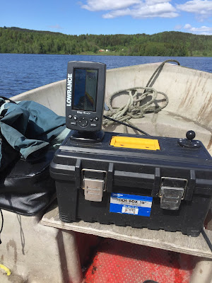
I also have the volumes-module for RM. Those data will be used by both the local authorities and the fishingclub responsible for stocking the lake with trout. Units used for the sonarlogging was Lowrance HDS 8 Gen 2 with HST-WSBL and Elite 4 HDI with 83/200/455/800-HDI.