A GPS is not bathymetric, but a map can be bathymetric. :) And yes, with Deeper you can make a bathymetric map. Ie a map that shows contours that reflect depth.
Like most others it combined depth from the sonar and position from GPS.
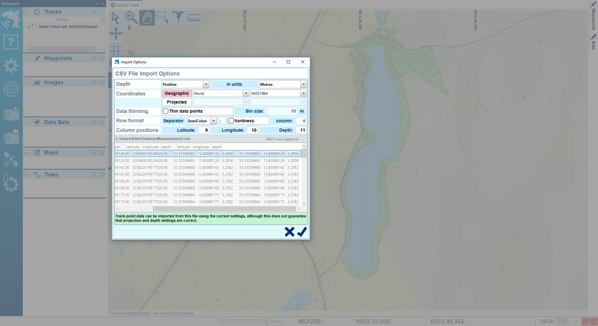
The data is first stored in your phone, and you then choose what data to upload to Lakebook. Lakebook is a cloud-based "book" so you can view your data on any plattform like phone or PC etc. Your login to Lakebook is personal so the data can not be downloaded by anyone else. (You can however download it as CSV and then send it to anyone you want.)