Welcome, Guest
Username: Password: Remember me

TOPIC: 3D map on HDS ?

3D map on HDS ? 10 years 11 months ago #3844

  • fvignola
  • fvignola's Avatar
  • Offline
Is it possible to do it ?

Something like that:


How ?

Thanks

Fred
Last Edit: 10 years 11 months ago by fvignola.
The administrator has disabled public write access.

3D map on HDS ? 10 years 11 months ago #3845

  • Matt
  • Matt's Avatar
  • Offline
Not at this time. I'm not sure we'll ever be able to create 3D maps for Lowrance, but we are planning on including it in the ReefMaster iOS and Android viewer next year :)
The administrator has disabled public write access.

3D map on HDS ? 10 years 11 months ago #3846

  • fvignola
  • fvignola's Avatar
  • Offline
And what about a raster image to do it ???
Last Edit: 10 years 11 months ago by fvignola.
The administrator has disabled public write access.

3D map on HDS ? 10 years 11 months ago #3847

  • Matt
  • Matt's Avatar
  • Offline
A "shaded relief" type raster? It could be done, and used as a background instead of a standard raster - we have thought about it. Maybe in a future version!
If you wanted to, you could probably create something yourself in QGIS or similar. Export an ESRI grid of the map project (from the contour view right-click menu) and create a shaded relief. You would then need to save this image with a KML or PGW calibration file and use in the raster process of the IMC.
The administrator has disabled public write access.

3D map on HDS ? 10 years 11 months ago #3854

  • fvignola
  • fvignola's Avatar
  • Offline
Yess, a shaded relief should do the job...

I work with GM, I tried it, but I miss some knowledge to do it with that software...

I tried to import the RM ESRI grid into GB, I generated contours from these data, and now I can see it in 3D... But it'S really not what I'm looking for... All is blue and I don'T know how to make shaded relief area with this software with the data comming from RF... GB 15 can generate area when you generate contours, but all the area are blue...

Here is what I get from GM:


I think I have some homework to do...
The administrator has disabled public write access.

3D map on HDS ? 10 years 11 months ago #3864

  • DAVES
  • DAVES's Avatar
  • Offline
fvignola
can u post intructions on how you made the 3d image
can it be done with QGIS?
dave
<*)))><
The administrator has disabled public write access.

3D map on HDS ? 10 years 11 months ago #3866

  • Matt
  • Matt's Avatar
  • Offline
Hi Dave,
I'm no expert in QGis, but you can certainly create a 3D visualisation of an RM project in there. Start by exporting an ESRI grid from a generated map project, and importing this into QGis as a raster layer. You can then use the GRASS NVIZ tool. It's a little bit involved, and it's been some time since I did it myself, but there are plenty of tutorials around on the web for QGis and GRASS.

Matt
The administrator has disabled public write access.

3D map on HDS ? 10 years 11 months ago #3869

  • fjordfisher
  • fjordfisher's Avatar
  • Offline
As Greg wrote on other place - at this time there is no way zu create a 3D chart for the Lowrance units. This option is reserved for commercial charts.

As Matt wrote, You can use the exported file for 3D models in all usual GIS applications: GM, ArcGIS; QGIS ...

In attchm. a sample, created with ArcGIS >>> exported as PDF.
Rename the file to "3D lake.pdf" and use the Adobe Reader
Attachments:
Last Edit: 10 years 11 months ago by Matt.
The administrator has disabled public write access.

3D map on HDS ? 10 years 11 months ago #3870

  • fvignola
  • fvignola's Avatar
  • Offline
That's comming guys !!!!!!!!!!!


Not the same place than my last 3D view... I've made my test with a little lake to save time...


Next step, combine the raster with the vector map and adjust color to make them work together...


And here is the map of the same lake built with Reefmaster, on the HDS...


What I see in GlobalMapper:


My goal for now is to make the map look like this GB 3D view the most possible, on my HDS unit...
Last Edit: 10 years 11 months ago by fvignola.
The administrator has disabled public write access.

3D map on HDS ? 10 years 11 months ago #3871

  • fjordfisher
  • fjordfisher's Avatar
  • Offline
Looks good! Congratulation!!!!


But i believe, that this is not real 3D, this is a sample of the known overlaying imagery on digital elevation models. A flat picture - with pseudo 3D effect.
Last Edit: 10 years 11 months ago by fjordfisher.
The administrator has disabled public write access.

3D map on HDS ? 10 years 11 months ago #3872

  • fvignola
  • fvignola's Avatar
  • Offline
DAVES wrote:
fvignola
can u post intructions on how you made the 3d image
can it be done with QGIS?
dave

I made it with GlobalMapper... Just followed Matt's instructions...

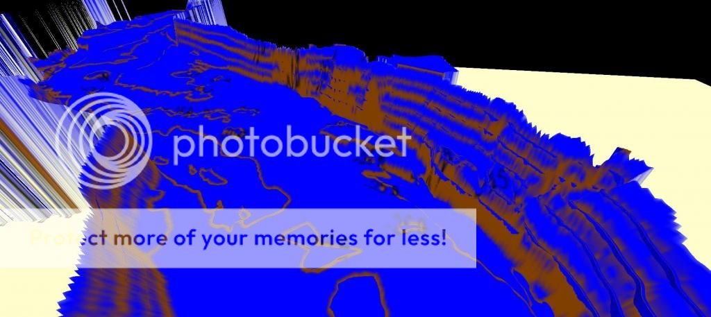
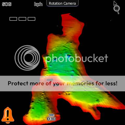
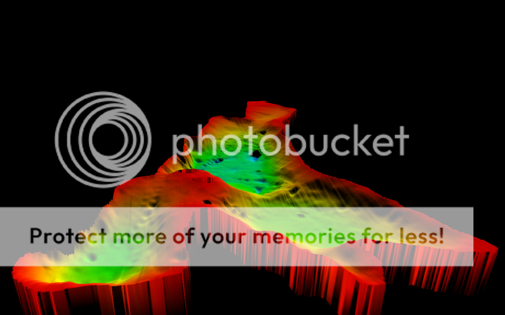
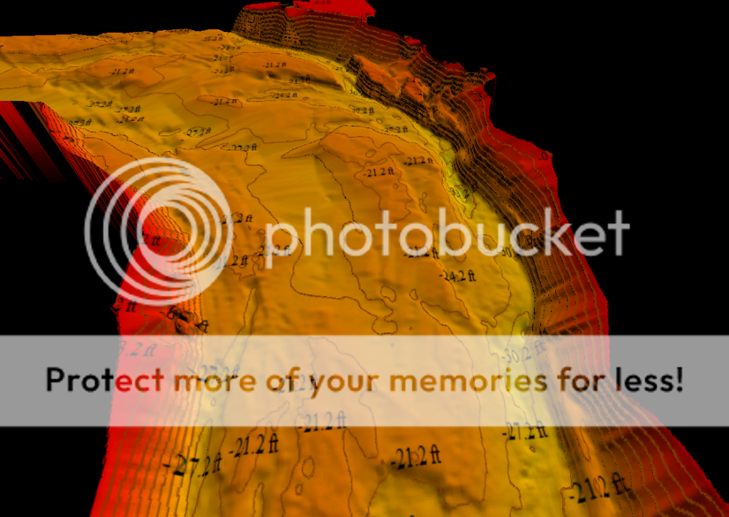
Can't explain how I did the first 3D image (all blue), while I don't understand... When I oppened the Grid file exported with ReefMastrer, in GB, all data was blue... I just generated contours and I got that 3d view... But I was working with a big workspace in GB with full of data... I oppened the same file with a blank workspace in GB and now I get the lastest 3d view you can see... I generated contours, and after, exported it to Garmin Raster KMZ format... Unzipped the KMZ with Winrar (to get a KML and Images), Then processed it with Insight Map creator (Raster mode), and then you have the 3d map ready to go on the HDS...

IMC is now processing my lastest 3D map...

It's what I have in GlobalMapper:


Edit, No need to Export Garmin KMZ, just KML/KMZ directly, and you do not check compressed KMZ... That way you don't need to unzip it with winrar...
Last Edit: 10 years 11 months ago by fvignola.
The administrator has disabled public write access.

3D map on HDS ? 10 years 11 months ago #3873

  • fvignola
  • fvignola's Avatar
  • Offline
Thanks a lot fjordfisher... Yes, you are right... But it's the only way I found to get it done... I know it's a fake 3D, but the result is the result that I want to see... For the moment...
The administrator has disabled public write access.
SCROLL TO TOP